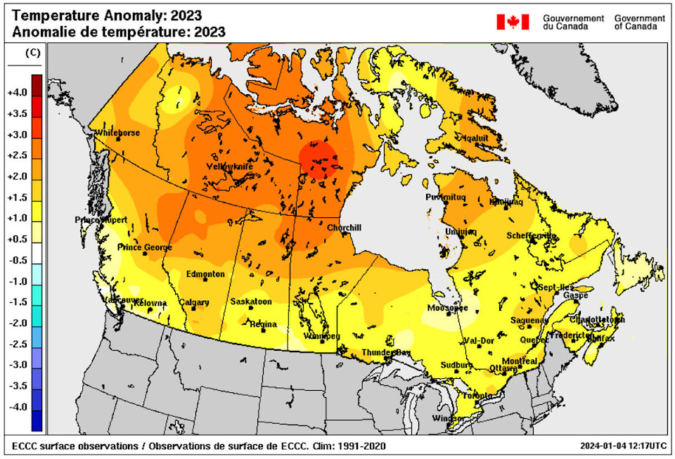
It’s no great secret that this has been an unusually warm weather for the Cariboo-Chilcotin.
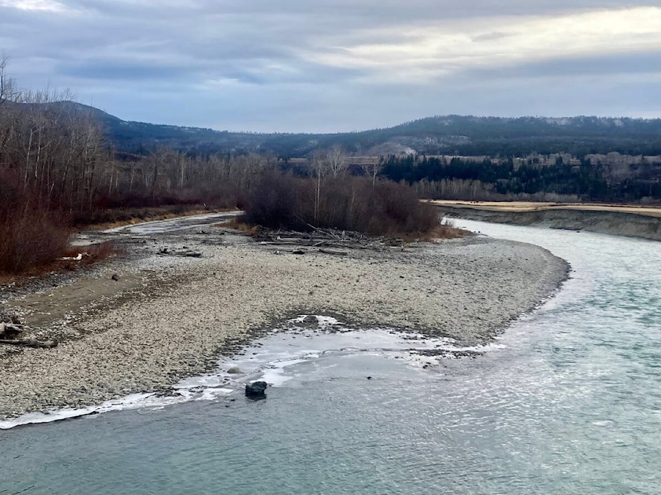
Snowfall has been largely negligible, temperatures have hovered above freezing and many of the larger lakes in the South Cariboo such as Lac La Hache and Horse Lake have stayed ice-free. These conditions are a source of interest and cause for concern for Brian Proctor, a meteorologist with Environment and Climate Change Canada.
“A couple of things are happening that are really dominating the weather pattern (this winter). One is we’re seeing a very strong El Nino current in the Pacific. That’s brought a lot of very warm air up into the Gulf of Alaska,” Proctor explained. “We’ve also had a really strong ridge of high pressure aloft over the interior of British Columbia. Typically, this time of year, we have weather systems moving from west to east.
“What (the high pressure) has done is that any systems that have tried to move into British Columbia have run into this ridge and been re-directed straight northward up into the Yukon.”
The combination of El Nino and this high-pressure system has limited any eastward progression of moisture into the Cariboo. This follows on the heels of 2023 which was a particularly hot and dry year, leaving most of B.C. in a drought.
“We’ve seen so little moisture getting into the Chilcotin and the Cariboo during the fall and winter, at this point in time,” Proctor said. “We need that precipitation and snowpack. If we don’t see a fairly significant increase in the availability of moisture and the thickening of the snowpack it’s going to put us in a very stressful situation for water use and allocation.”
However, the South Cariboo is due to receive some moisture and cold weather this month. Proctor said the high-pressure system has begun to weaken which will allow colder air from the Yukon and Northwest Territories to start “seeping down” into B.C.
“What that Arctic air does is give us more of a snow flurry chance in the Clinton and 100 Mile House area. We’ll probably see some snowfall as that Arctic front comes through on Friday (Jan. 5),” Proctor said, noting that the data suggests a downward trend in temperatures throughout the next two weeks.
This will give the area some snow which Proctor said has been sorely lacking this winter. However, he doesn’t expect these more seasonable temperatures to last.
“Our climate models, when we start looking at monthly forecasts, indicate that things will start to warm up in the third week of January to early February and then a warmer kind of trend moving forward,” Proctor remarked. “That’s not typical for us. Oftentimes our coldest temperatures are near the end of January and early February when we see some fairly significant snowfall.”
Proctor said that B.C. Wildfire Service is well aware that the province and interior region specifically will likely not be getting enough precipitation this winter and are planning accordingly. While there is still time for snow and rain to fall, right now Proctor doesn’t anticipate there will be enough to offset the drought.
“Warm and dry was the story of 2023 and that’s helped put us in the situation we’re in now. The drought has the potential to cause some big impacts, moving forward,” Proctor said. “I would say that people in the Cariboo-Chilcotin are very weather aware and really have good situation awareness and make good decisions based on what’s happening.”